Rethinking alternative housing and why it starts with tents.
Housing, not handcuffs
For the past 12 years, Portland OR has experienced an increase of homeless persons. Many proposals have been put forth, but little has been effective. It has been proven that removing tent cities have costed the city more than it has helped. My map proposes a locations on where these encampents should be established with regulaton.
Poster encapsulating the proposal.
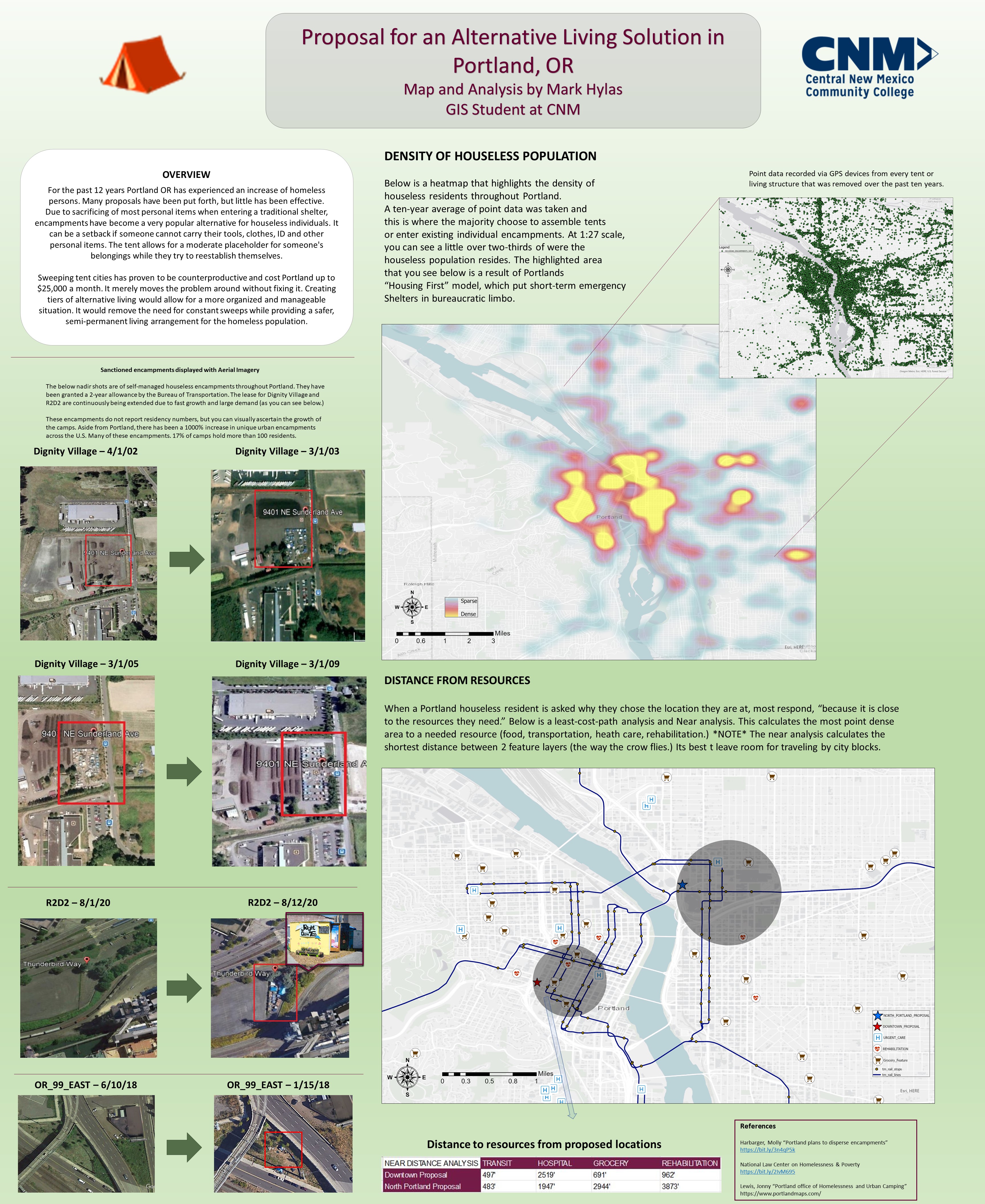
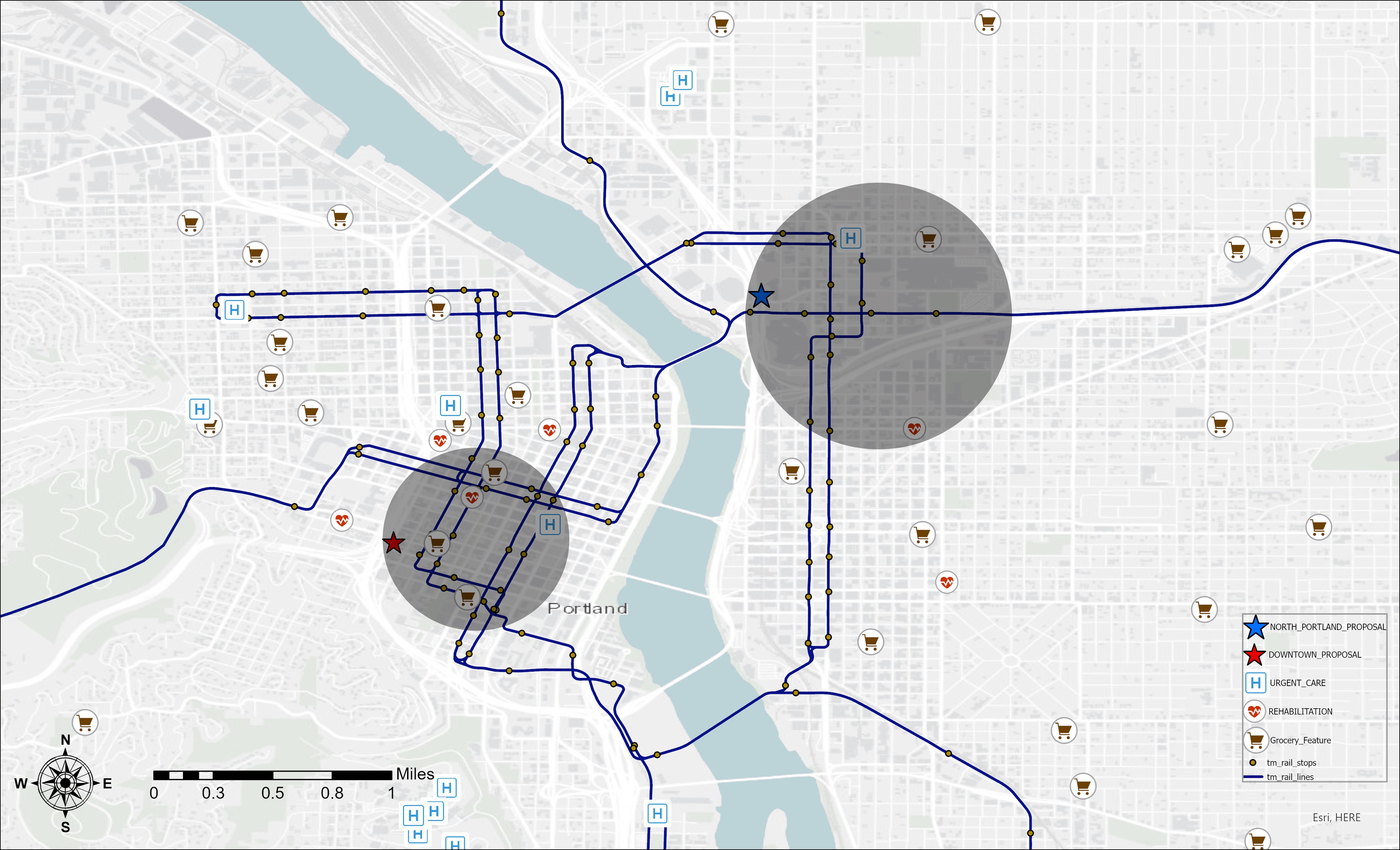
The two main maps were created in both ArcMap and ArcGIS Pro. In the top portion the heatmap was made from Portlands homeless initiative point data, over the course of ten years. A point can be considered an abandoned or occupied tent(s). The map below highlights the radius of an area that provides access to all essentials for individuals struggling with houselessness or addiction. Also, historically the two highlighted areas are where the majority of tents were setup.
Site Selection
The two high lighted regions were produced after a GIS site sellection was performed. The values I used were the location of existing transit, hospitals, drug rehabilittation and where houseless individuals naturally choose to occupy. The point data shows that being in these 2 regions allowed access to lifes basic needs.
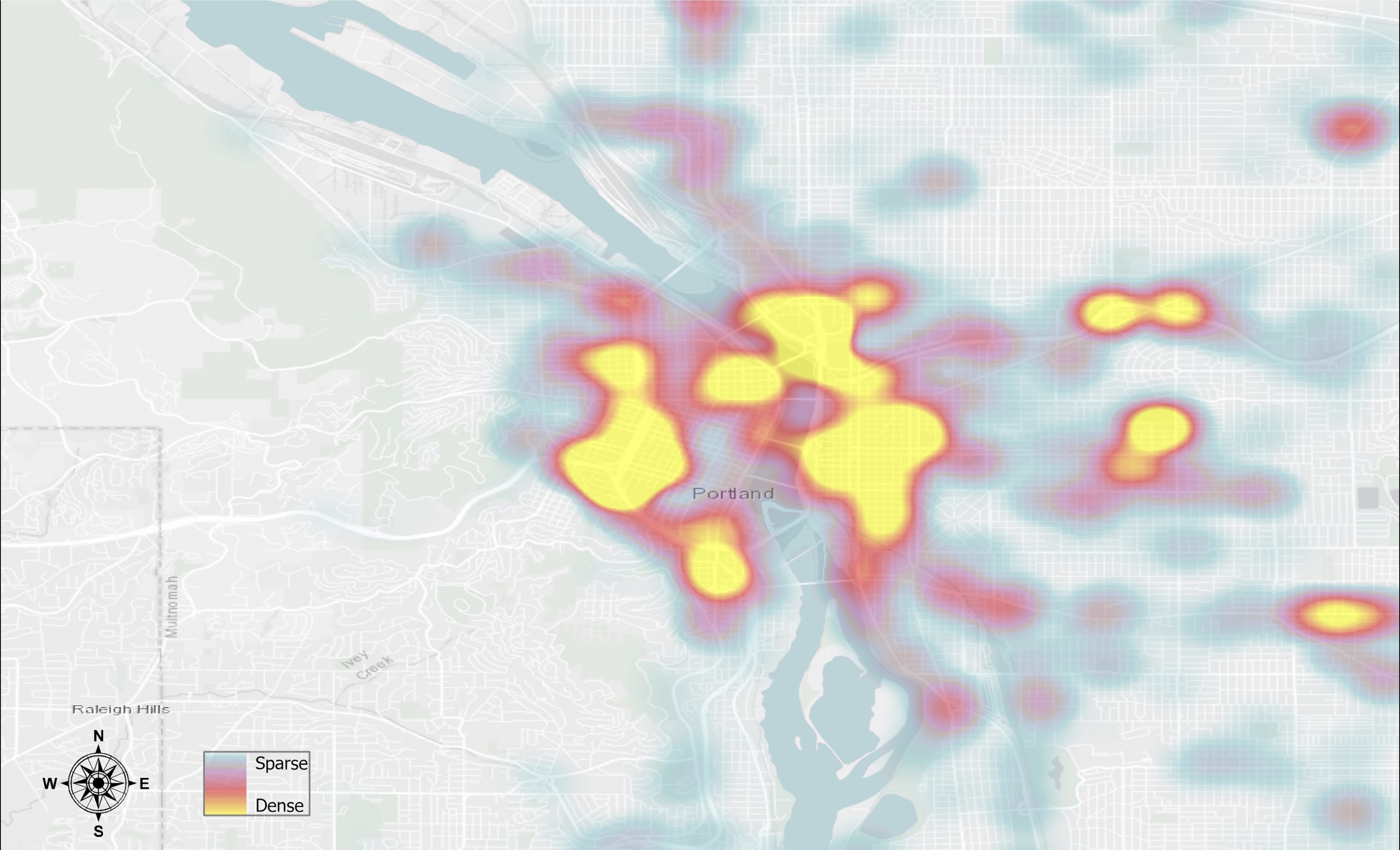
Heat Map
The heatmap to the left clears up the point data which may have been confusing. There is a lot of overlap that you cannot illustrate with simple points. To better illustrate the actual density, I converted the points to a heatmap by using the ArcGIS Pro density toolset.